There is so much that can be done efficiently and cost effectively with the right drone. High Resolution Inspections, 3d Modelling, Orthomosaic Images or simple 1:500 scale Topographical Mapping are just a few of the services that Photodrones can provide.
Mapping large areas of land or rivers to monitor erosion is now quick and cost effective. In this image, a large magnification around the boat shows the level of detail attainable.
See ExamplesFrom Hasselblad 100 megapixel medium format stills to Full Frame Sony Arri ir Red video images, Photodrones has the equipment and expertise to deliver whatever it is your requirement. See the nuts and bolts in extreme detail using medium format ultra resolution cameras in both still and moving image formats.
SEE EXAMPLES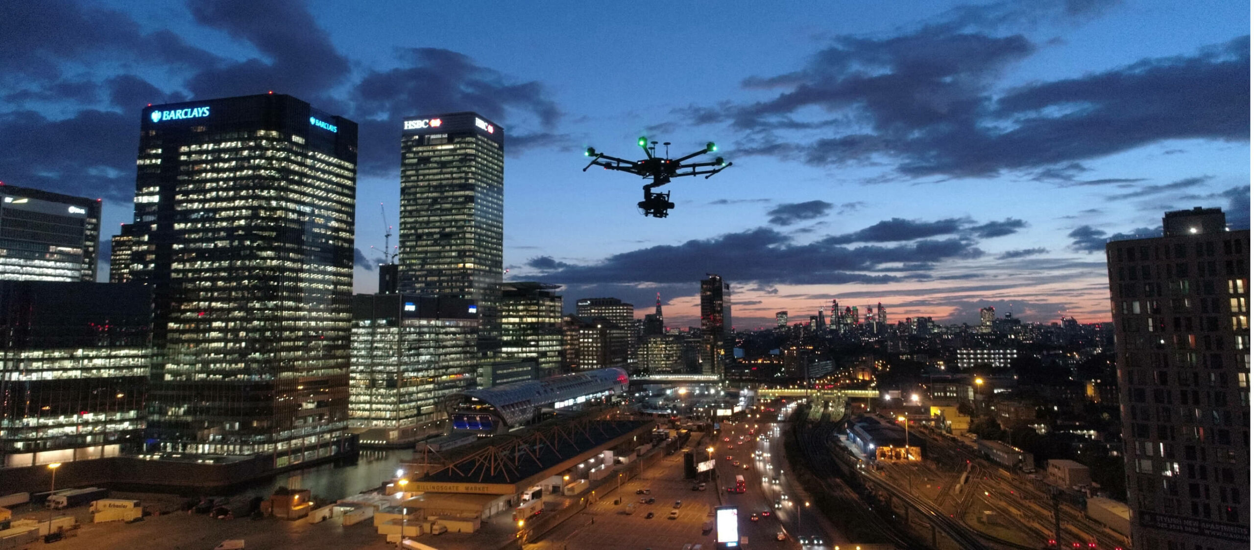
Old and heritage buildings can be examined in a great detail from above and from the sides. The smallest of issues can be detected and monitored quickly and cheaply.
SEE EXAMPLESUsing RTK – a highly accurate positioning system – we are able to return to the name position in space multiple times, allowing an aerial timelapse over any length of time.
SEE EXAMPLES